A powerful quake off Panama's southern coast
A magnitude 7.6 earthquake struck off Panama's southern coast on Friday afternoon, according to the United States Geological Survey. The epicenter was located roughly 10 kilometers southwest of Pitaloza Arriba, a remote community near the country's southern tip, at a depth of 10 kilometers. The USGS had initially reported a magnitude of 8.0 but quickly revised the figure downward to 7.6. The tremor was felt both in Panama City and in San José, the capital of Costa Rica, according to witnesses cited by Reuters.[S1][S2][S5][S6]
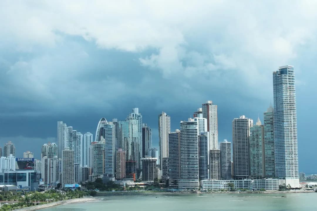
In Panama City, the shaking caused prolonged swaying in tall buildings and office districts, and hundreds of people left their offices and gathered in the streets, visibly shaken by the intensity of the movement. Television images showed evacuations of buildings. Panama's Civil Protection said it was assessing possible damage in the regions near the epicenter. Authorities have not reported any victims so far, though they are evaluating possible material damage in various parts of the country.[S2][S3][S5][S6]
The Institute of Geosciences of the University of Panama initially reported a magnitude of 7.0 and a depth of 10 kilometers, while other reports placed the depth at 33 kilometers and the magnitude at up to 8.0 on the Richter scale. The Panamanian institute recorded the tremor at 12:56 and reported about 10 aftershocks in the following minutes; by 13:30 it had counted around 13 aftershocks, one of them of magnitude 6.0, located north of Tonosí. Earthquakes in the capital are unusual and occur mainly in Chiriquí province.[S3][S5]
The Colombian Geological Service reported that the tremor occurred after 12:56 and was felt in various cities across the country. It located the epicenter in Pitaloza Arriba, in the La Pitaloza district of Los Pozos, in Panama's Herrera province, with a reported depth of 33 kilometers. In departments such as Chocó and Antioquia, social media users shared reports of the movement, which caused moments of concern and evacuations.[S4]
Tsunami alerts across the Pacific
The US Tsunami Warning System warned of possible dangerous waves over the following three hours in coastal areas of Panama, Colombia, Costa Rica, Ecuador, Peru, Nicaragua, Guatemala, El Salvador and Mexico. The agency also said there was a tsunami threat to Hawaii. Chile's Hydrographic and Oceanographic Service of the Navy also issued a tsunami alert after the earthquake off Panama. Authorities continue to assess the risk to coastal areas, and the warnings may be updated as new data becomes available.[S2][S6]
In Colombia, the National Unit for Disaster Risk Management said the General Maritime Directorate assessed the possible threat to the Pacific coast and ruled out any danger. The assessment followed the quake, whose magnitude had been estimated at 8 by Panamanian authorities, with reference to a location 61 kilometers from Las Tablas. The UNGRD asked the population to stay attentive to official communications and follow the recommendations of emergency agencies.[S4]
El Salvador's authorities issued a moderate tsunami threat alert over the possibility that the phenomenon could reach its coasts. According to the notice, the sea level could rise by up to one meter during the following two hours. The USGS publishes the technical information about the event on its official page, and the magnitude, depth and alerts may change as monitoring agencies process new data.[S2][S5]
Residents describe the shaking
Rosendo Domínguez, who is 60 and lives in Herrera province, the area hit by the quake, described the experience to the Associated Press in a phone call. He said the shaking was intense and sent items tumbling in his kitchen, yet he and those with him came through unharmed, albeit badly shaken. He noted that residents had gathered outdoors in a state of alarm. The shaking was likewise detected in Colombia and Costa Rica, according to accounts.[S5][S6]
Authorities called for calm among the population while evaluation tasks continue. The tremor was felt throughout Panamanian territory and in regions of Costa Rica and Colombia. The authorities began assessing possible damage, mainly in the central zones of Herrera, Azuero, Veraguas and Los Santos, among other regions.[S5]