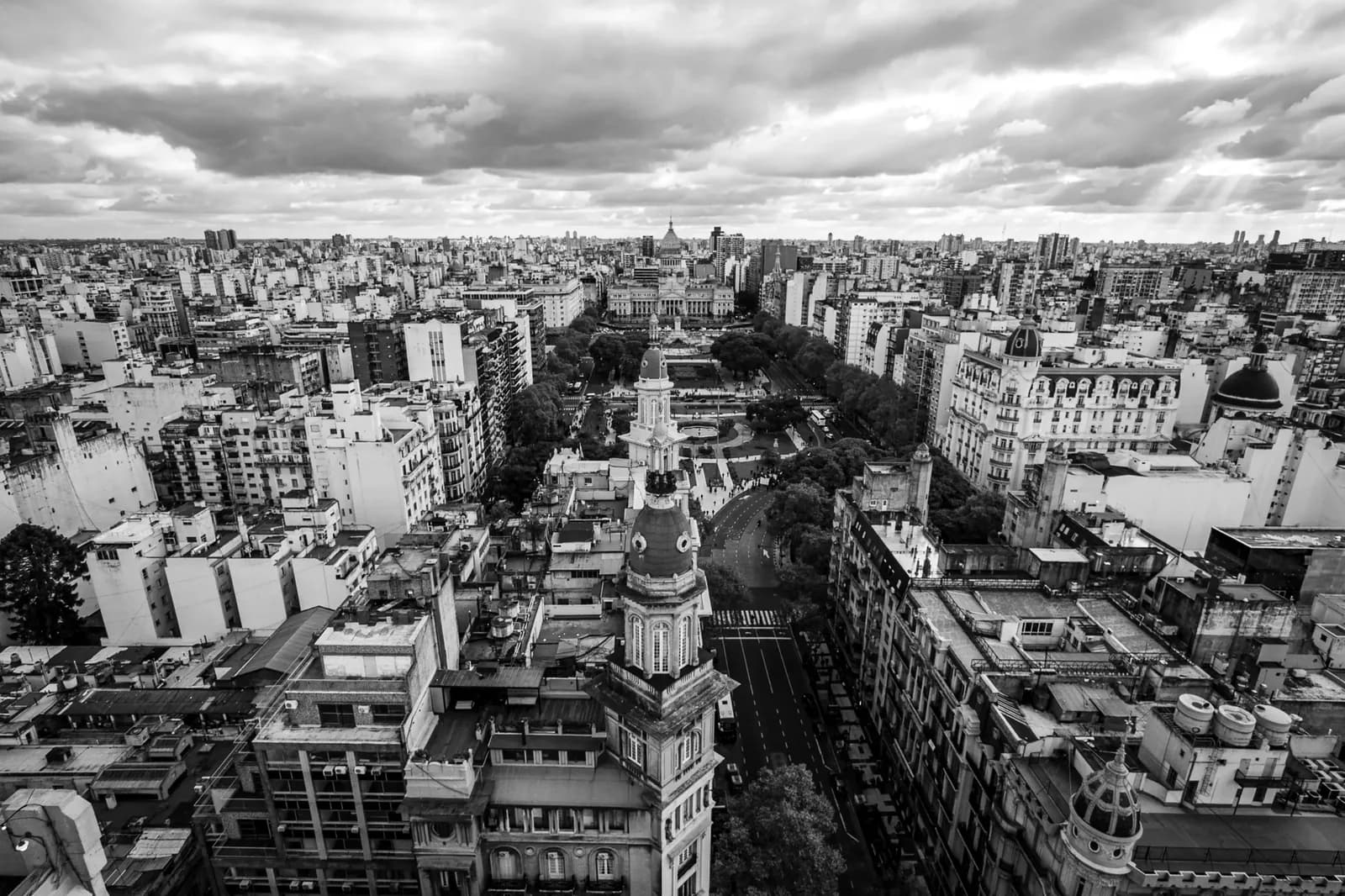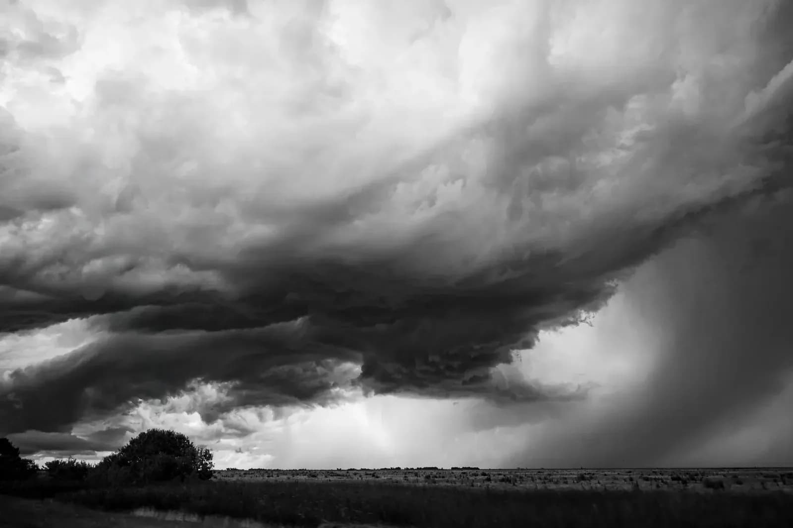
Monday: Clouds, Humidity and Showers
Buenos Aires and the AMBA start the week under marked atmospheric instability on Monday, August 3, the first business day of the month. With high humidity and abundant cloudiness, the National Meteorological Service (SMN) anticipates conditions gradually worsening during the second half of the day. Another report calls the day moderate but places attention on nighttime instability, with isolated precipitation possible in different points of the metropolitan area after 21:00. The outlook follows strong storms recorded last Friday.[S1][S2][S3]
In the morning, the minimum will be near 11°C in one SMN report, or 13°C in others, with humidity above 85% and one reading of 87%. Visibility may be temporarily reduced by morning mists, although another report calls it good. The maximum will reach 16°C in the early afternoon, while one report lists 15°C. Winds from the east will blow at 7 to 12 km/h. At midday, a separate report recorded 14°C, a thermal sensation of 15°C, 91% humidity, 10 kilometers of visibility and northeast wind at 4 m/s. Sunrise is at 07:46 and sunset at 18:14. In Greater Buenos Aires, western and southern municipalities will feel slightly cooler, with minimums of up to 10°C in rural or suburban areas, while cloudiness increases throughout the conurbano.[S1][S3][S4][S5]
In the afternoon, when the temperature reaches 16°C, the SMN predicts showers in the City of Buenos Aires and the conurbano. Rain probability ranges between 10% and 40%, with east or southeast winds that one report puts at 7 to 12 km/h and another at 10 to 22 km/h, with gusts near the Río de la Plata. The site Meteored forecasts weak rains starting around 10:00, possible storms between 12:00 and 14:00 with a probability of 60% to 70%, then cloud cover until 20:00 and clearing skies. For the night, the SMN expects no precipitation, mostly cloudy skies and a temperature of 14°C.[S1][S3][S5]
Provincial Alerts and Other Regions
The SMN's Early Warning System has no extreme alerts for central Argentina, and no meteorological alerts are active for the Autonomous City of Buenos Aires. In contrast, Chaco, Corrientes, Entre Ríos, Formosa and Santa Fe remain under yellow storm warnings. The agency continues to monitor the displacement of a low-pressure system.[S1][S3][S4]
Mendoza and Neuquén register instability in mountain areas due to the entry of humid air from the Pacific Ocean. In the north, Formosa, Chaco and Misiones experience higher thermal values with partly cloudy skies. In Patagonia, Santa Cruz and Tierra del Fuego, Antarctica and the South Atlantic Islands remain under the influence of a cold polar air mass that keeps temperatures below zero.[S1]
Extended Outlook for the Week
For Tuesday, August 4, the SMN expects the consolidation of a south wind and a slight drop in minimum temperatures, with decreasing cloudiness and a dry, cold environment ranging from 9°C to 16°C in one report. Another forecast says conditions will stabilize with similar temperatures of 11°C to 16°C, mostly cloudy skies and no rain. A third report lists a minimum of 12°C and a maximum of 14°C with partly cloudy skies.[S1][S2][S4]
Between Wednesday 5 and Thursday 6, the cold air mass will settle over the central region. The SMN forecasts gradual clearing, cold mornings with minimums of 8°C to 9°C and afternoons that do not exceed 17°C, with no additional precipitation. A separate report gives Wednesday a minimum of 13°C, a maximum of 16°C and a chance of light rain, and Thursday a minimum of 7°C, a maximum of 13°C and clear skies.[S1][S4]
For Friday, August 7, one forecast indicates a minimum of 8°C, a maximum of 14°C and some scattered clouds.[S4]